Unmanned Aerial Vehicle (UAV) based geomagnetic mapping and thermal imaging
Overview
Over the last decade, UAV based geophysical prospecting has emerged as promising technology since it allows low-cost and time-efficient surveying even in difficult terrain. Within this project are developing tools for geomagnetic mapping and aerial thermography.\nMagnetic anomaly maps typically show the total intensity of the geomagnetic field. Local variations in the magnetic field intensity are caused by lateral changes in the magnetic mineral content of rocks and reveal hidden lithological units and tectonic structure. By conducting aeromagnetic surveys, we plan to collect valuable data that help to understand the local geology.\nRemote thermographic imaging using an UAV based thermal camera implies the production of surface temperature maps. This technique allows time-efficient mapping of geothermal surface expressions such as hot springs, steaming ground and fumarolic activity in volcanic areas.
Equipment
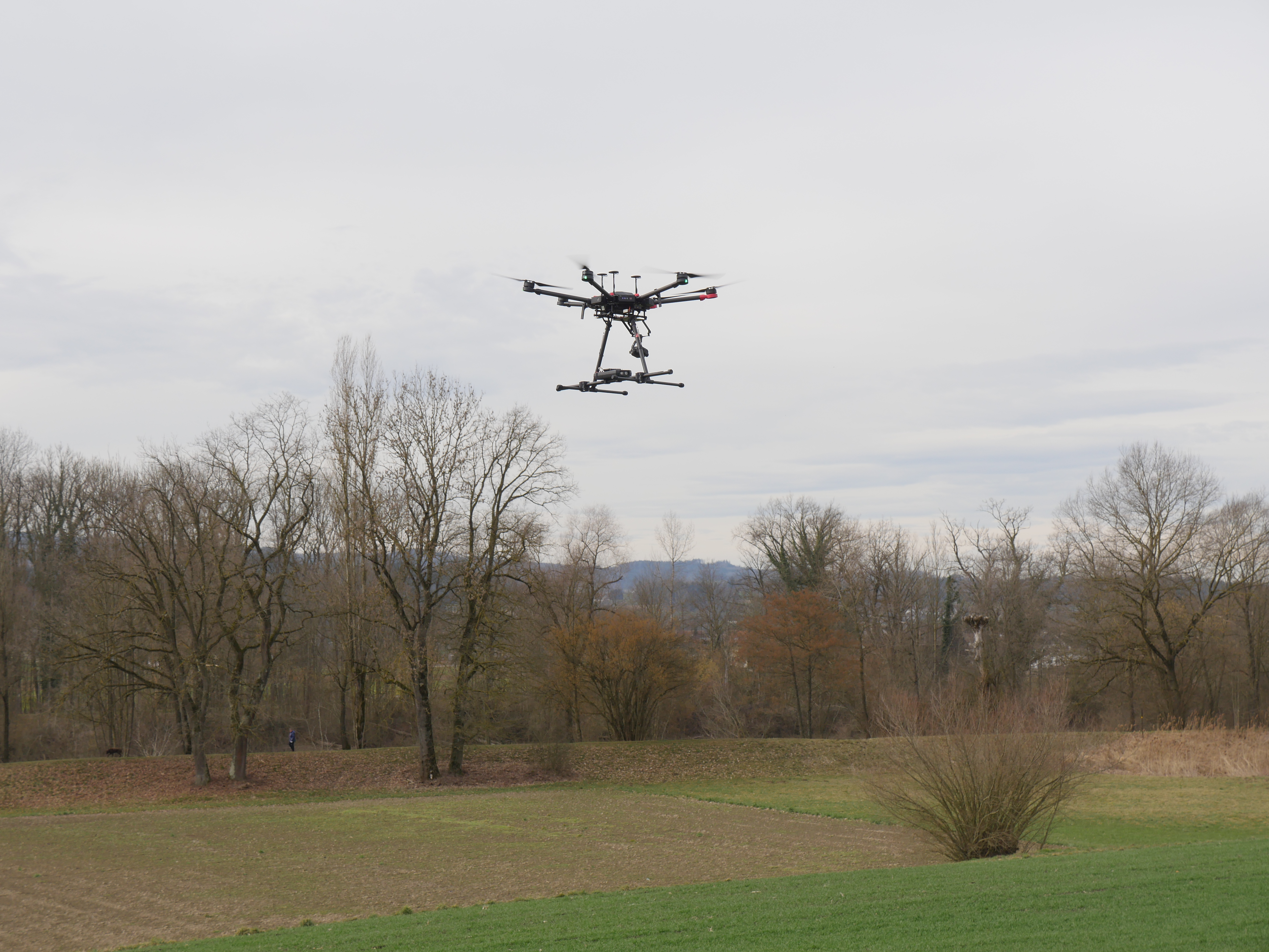
DJI Mavic 600 pro (maximum payload 6 kg)\nSensys Magdrone R3 magnetometer\nZenmuse XT2 dual thermal and optical camera
Results
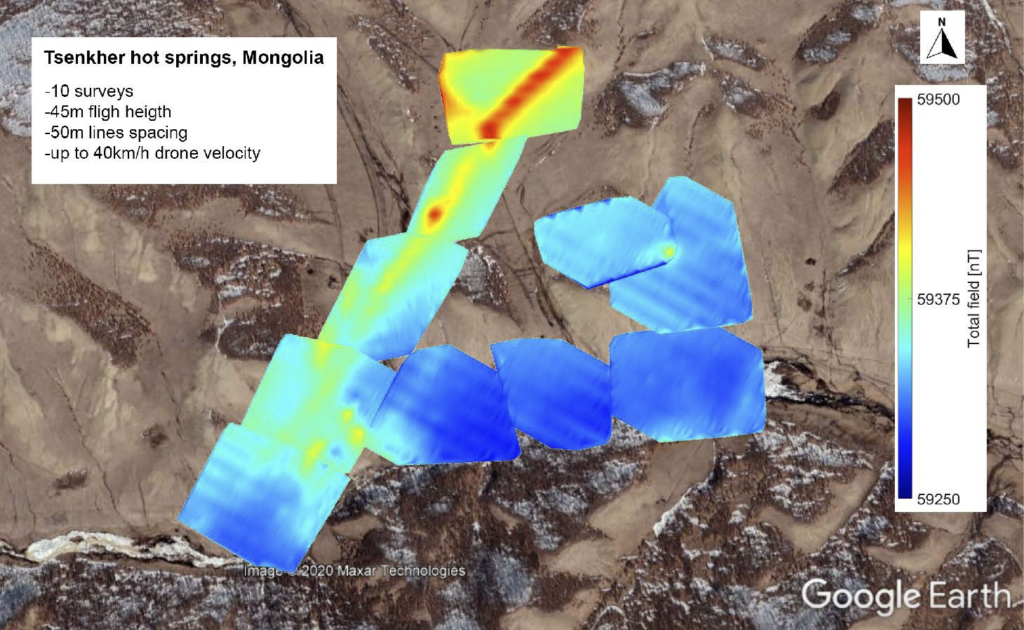
The geomagnetic map shown below is based on more than 100km of tracks that were flown at the Tsenkher geothermal area in Mongolia. The NE-SW trending anomaly indicates a buried fault that possibly acts as permeable upflow zone for hot fluids, which feed the hot springs at the surface.\n